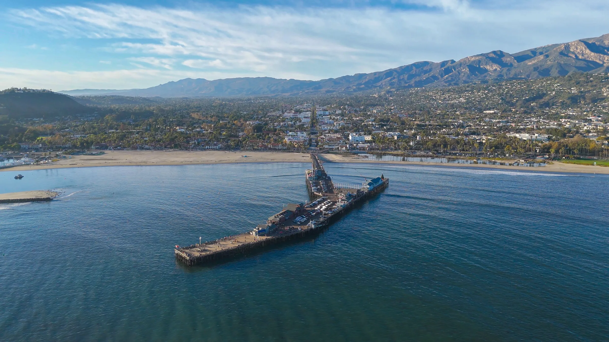
Aerial mapping
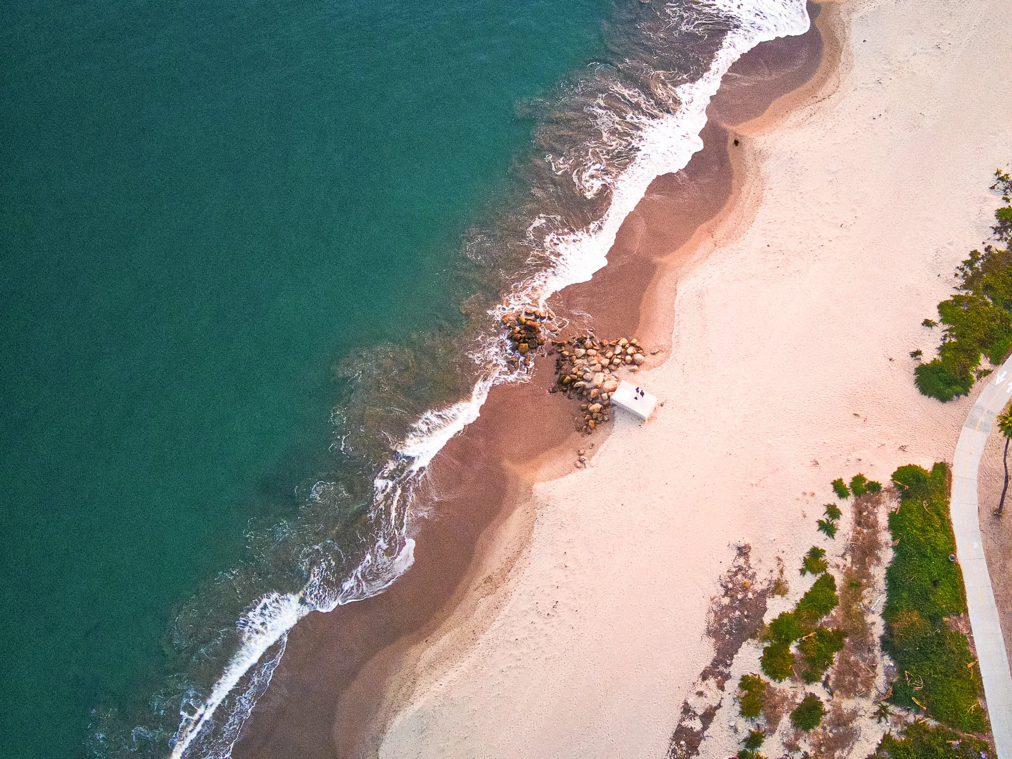
Aerial mapping and drone data. Flown over Santa Barbara, delivered ready to use.
Roto Flight Media captures more than the view. Orthomosaics, 3D models, inspection imagery, and precision-agriculture maps, flown across Santa Barbara and the Central Coast.
Start a conversationCapabilities
Data you can build on.
Orthomosaics and mapping
Maps measured from the air.
High-resolution 2D orthomosaics and 3D photogrammetric models, georeferenced and ready to drop into your GIS. Digital surface models capture terrain and elevation across the whole site. For survey-grade measurements we work alongside your licensed land surveyor.
Inspection and monitoring
A closer look, without the climb.
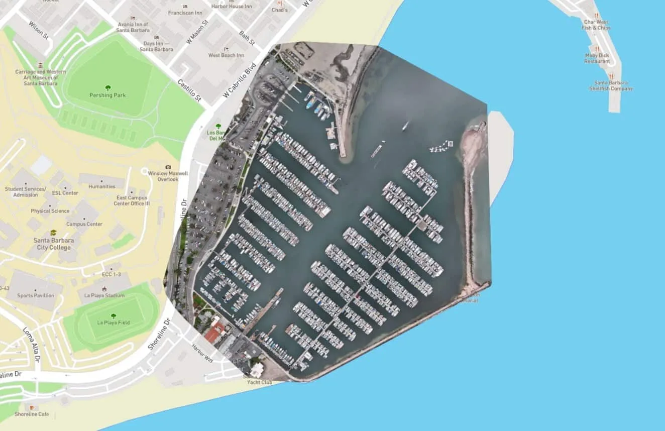
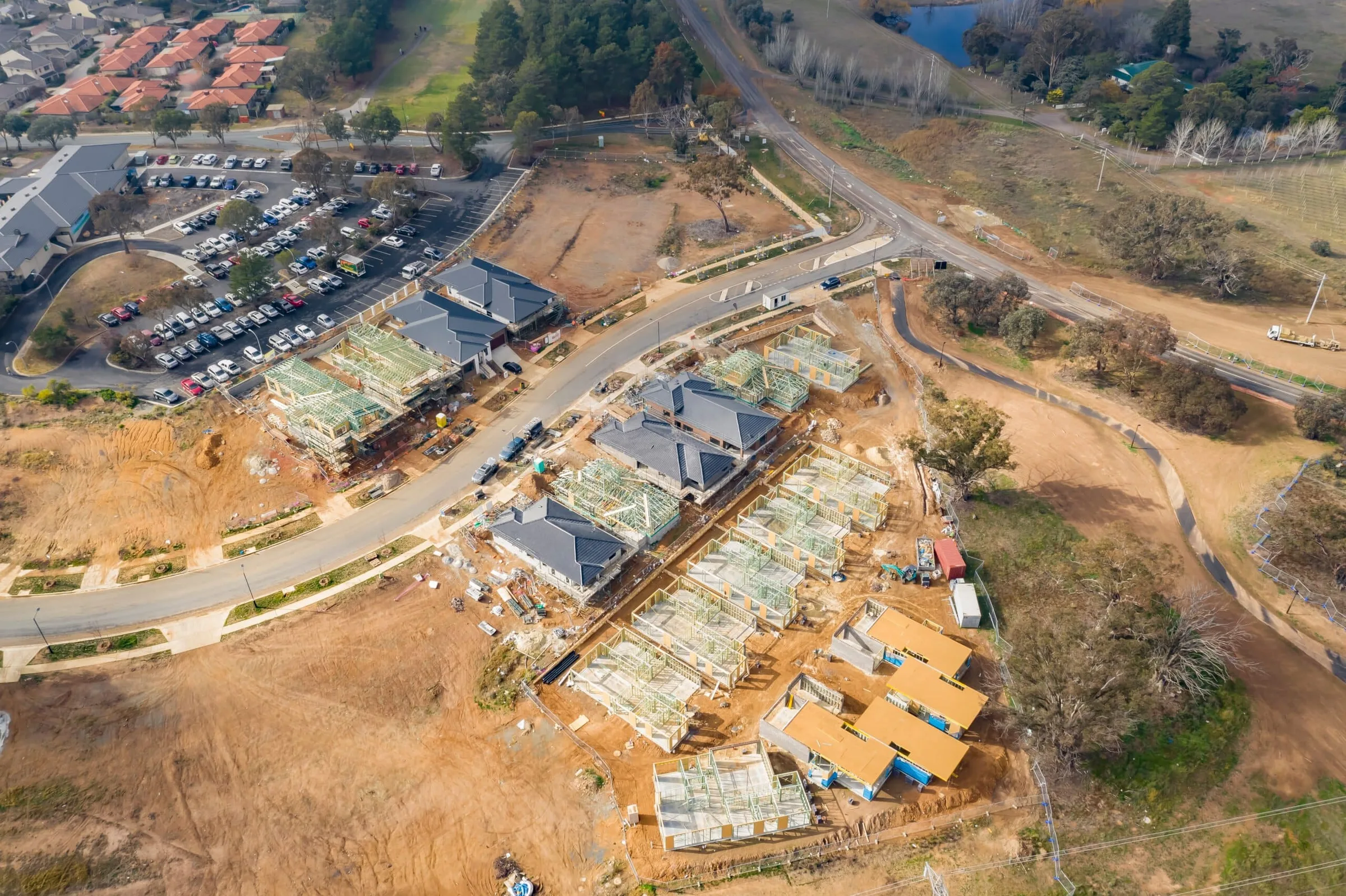
Roofs, solar arrays, structures, and infrastructure photographed at full resolution, with thermal available when a job calls for it. Repeat flights track a construction site as it changes, documented from the same angles every time.
Precision agriculture data
See the whole vineyard at once.
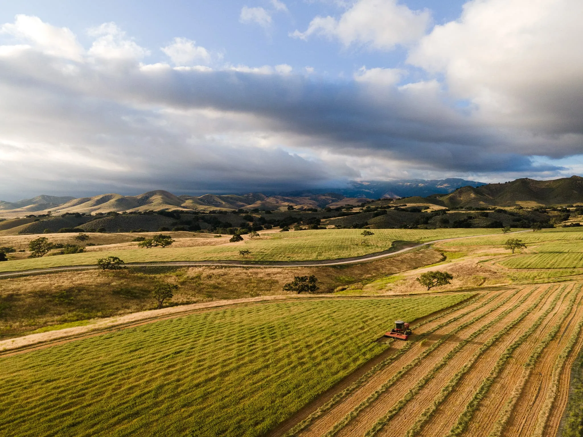
Multispectral flights over vineyards and row crops read canopy vigor, crop health, and irrigation stress. Captured at the growth stages that matter, delivered as maps your team can act on in the field.
Precision and FPV operations
One continuous move through the site.
Cinematic FPV flights thread through job sites, warehouses, venues, and interiors in a single unbroken shot, indoors and out. It shows a space the way walking through it never could.
Credentials
FAA Part 107 licensed pilots, Santa Barbara based, flying across the Central Coast. Every flight runs to FAA rules, with a pre-flight risk check on site. Most projects deliver in 2 to 5 business days.
Get in touch
Have a site to map? Tell us what you need.
Send the location and the kind of data you are after. We will come back with an approach and a quote.
Start a conversation